
Course characteristics
Difficulty scale
RMT
4
Mountain value
G
2
Class group

Long
Mountain value group
G
Flat
Distance
⨦ 69 km
Flat equivalent
Uphill
+ 1 200 m
Loop
Yes
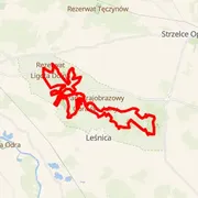
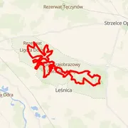
Location
Góra Świętej Anny, Polska
Time predictions
Check your potential! Estimate your finish time, see if you can run the course in a certain time, or maybe you'll compete for the win?
Check nowCourse information
Elevation data
GPX data
Number of events with this course
1
Event date
16 Jan 2027
Course statistics
Join to discover more!
Check your run history, analyze your achievements, and compare results with other runners.
Log in nowCourse variant code V-60 – this code is used to group course records in this event.

Your effort has a color
Amator
Beginner Level
Advanced Level
Expert Level
Elite
Rate My Trail © 2018 / 2026
Mountain Runners Ranking