
Main features of the course
Difficulty scale
RMT
4
Mountain value
G
5
Class group
Long
Mountain value group
G
Regular
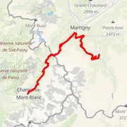
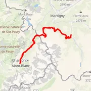
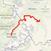
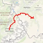
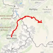
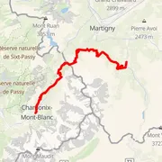
Distance
⨦ 55.5 km
Uphill
+ 3 050 m
Downhill
- 2 900 m
Location
Le Biolley, Schweiz/Suisse/Svizzera/Svizra
Flat equivalent
Trail score
Dominant surface
Weather on that day
Highest point
1 977 m a.s.l.
Elevation difference
1 147 m
Measurement accuracy, recorded every
10 m
Source of calculations
Przybliżone dane z GPX
Number of events with this course
5
Event date
24 Aug 2020
Certified course
No certificate
Time predictions
Check your potential! Estimate your finish time, see if you can run the course in a certain time, or maybe you'll compete for the win?
Check nowCourse record
Discover course records! Gain access to detailed analysis of theoretical and practical records. Compare results, discover new possibilities, and plan your strategy for future challenges!
Check nowActivity statistics
One GPX not enough? See how different devices measure this course and check measurement statistics – objectively and statistically, all in one place!
Check nowCourse statistics
Join to discover more!
Check your run history, analyze your achievements, and compare results with other runners.
Log in nowCourse variant code V-60 – this code is used to group course records in this event.
Your effort has a color
Amator
Beginner Level
Advanced Level
Expert Level
Elite
Rate My Trail © 2018 / 2026
Mountain Runners Ranking